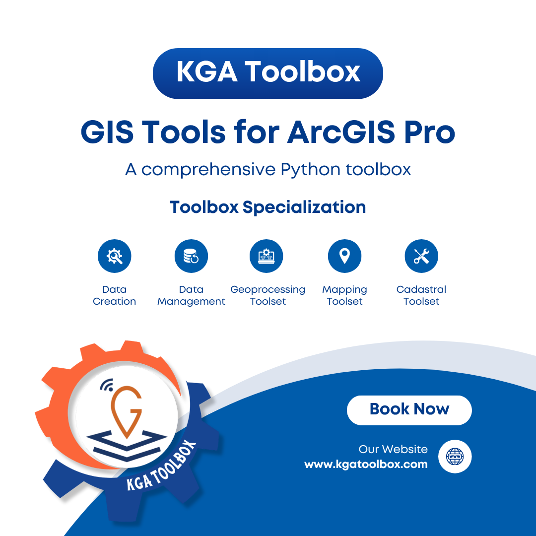
KGA Toolbox
v2026.2.0 — ArcGIS Pro
Engineering-Grade
GIS Tools for
ArcGIS Pro
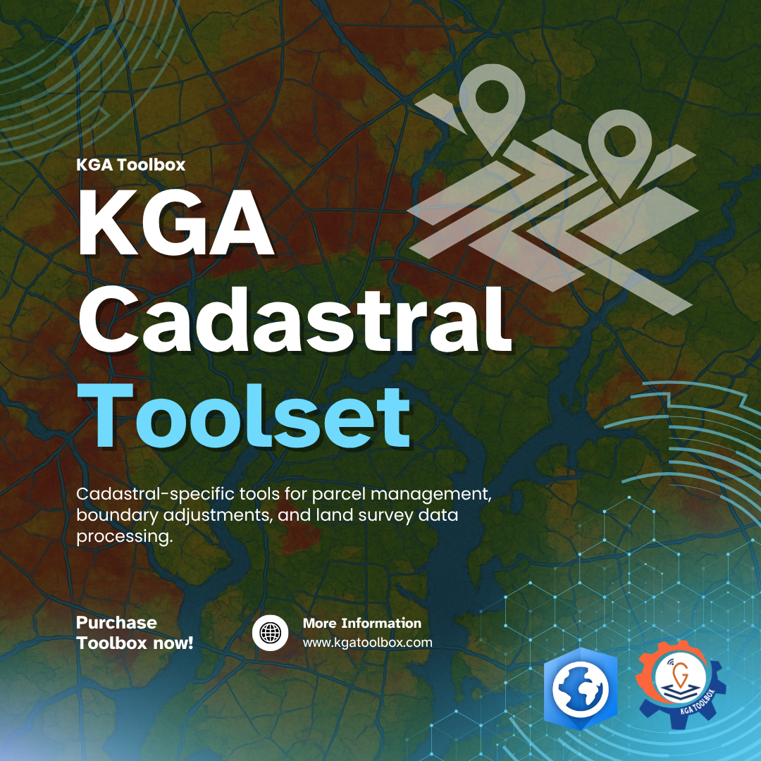
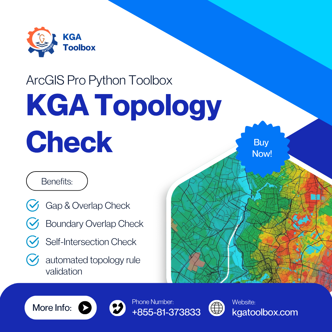
A comprehensive ArcGIS Pro Addin and Python toolbox with 11 specialized categories — from cadastral operations and CRS management to topology checks and spatial analysis.
11
Categories
50+
Tools
100%
Python / arcpy